


8.6 km | 9.3 km-effort

User GUIDE


FREE GPS app for hiking
 SityTrail
IGN / Geographical institutes
SityTrail World
The world is yours!
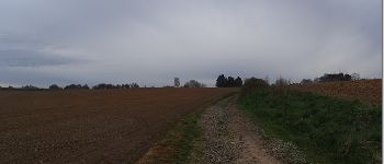
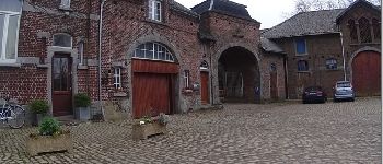
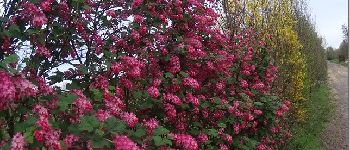
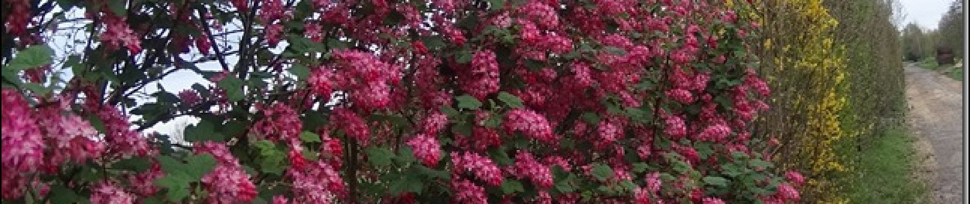
Trail Walking of 7.3 km to be discovered at Wallonia, Hainaut, Les Bons Villers. This trail is proposed by pascalou73.
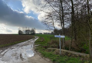
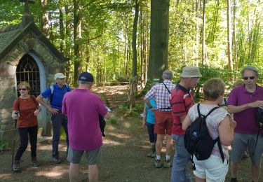
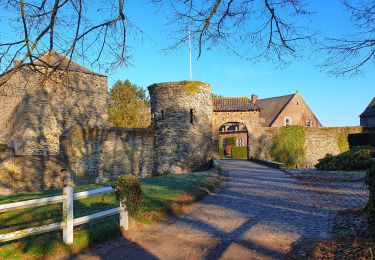
Une belle rando dans le pays de Geminiacum .Une rando à travers champs .entre château du 18e et 19e et une belle arbre et le passage de Napoléon pour Waterloo.
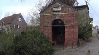
 - Photo 2")
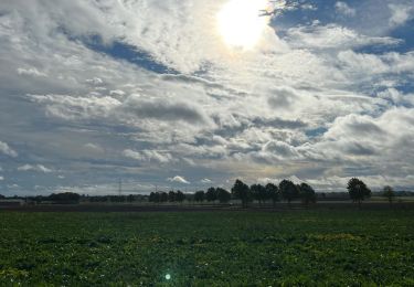
 - Photo 3")
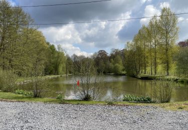
 - Photo 4")
Walking
Walking
Walking
Walking

On foot
Walking
Walking
Mountain bike
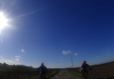
Mountain bike
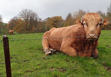
tres bien en pleine campagne